|
AIR OAHU
Most of these photos are quite a bit larger

East Oahu 
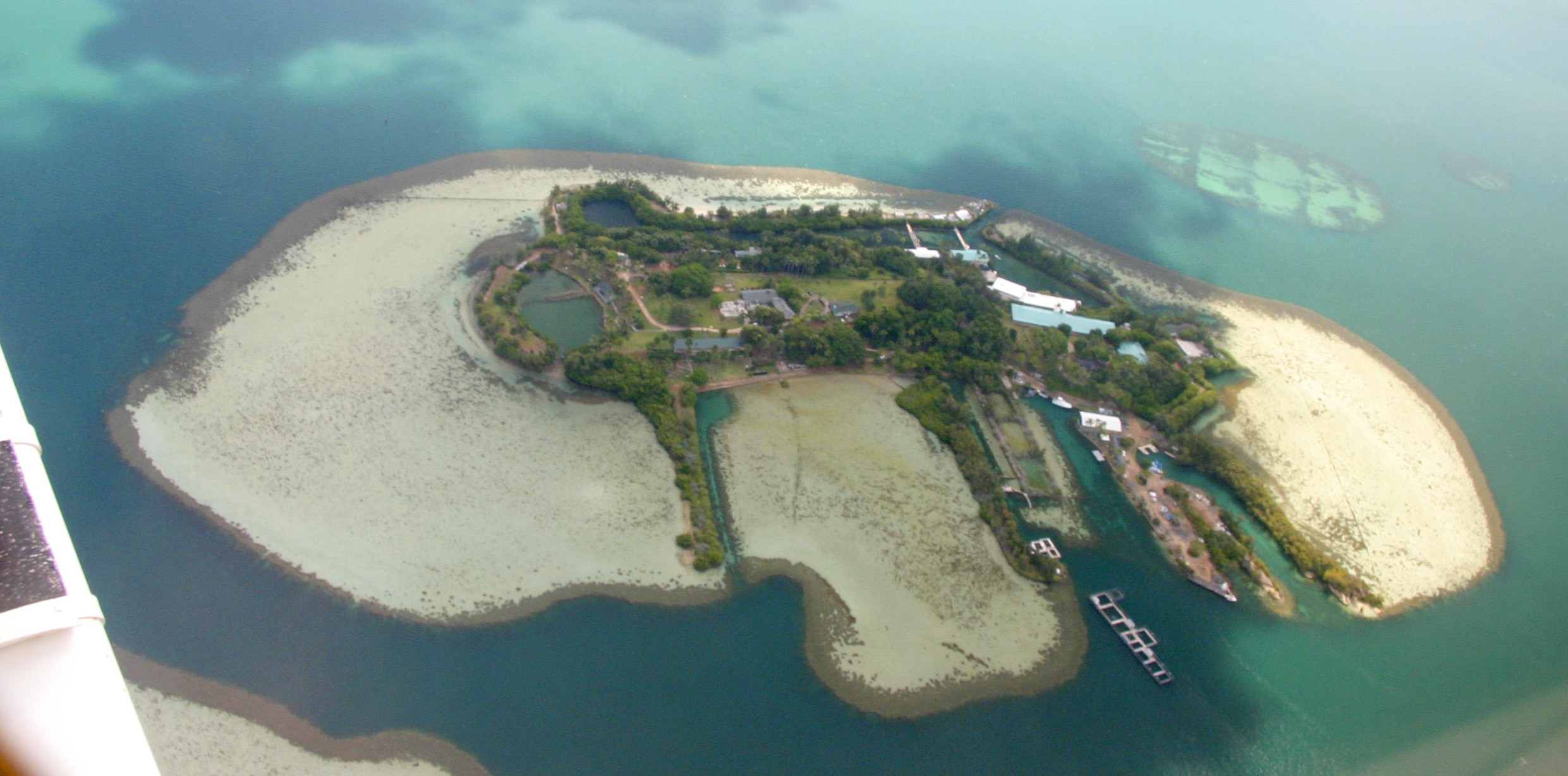
Coconut Island U.H. Research Station, Kaneohe Bay 
Lighthouse at Maka Pu'u 
Pali at Waiamanalo At 1380 ft., with a road up the backside to the summit, and facing directly into the NE Trade Winds this pali is a favorite stepping off point for hang-gliders. An ancient fish pond can be seen on the beach. The urban sprawl beyond is Hawaii Kai on the south side of the island. The cinder cone is Koko Crater. 
Kaneohe Bay Marine Air Station Streaks in the sunlit water, off the near end of the runway, show the near constant "down the runway" Trade Winds that make it like a 7,000 ft. aircraft carrier... 
Kaaawa Valley Directly below, in the ocean, is an area where there is a sandy bottom, it looks like a stream bed. That is where fresh water, a continuation of the streams, flowing from the island dilute the sea water, making it uninhabitable for coral. The Hershey Kiss in the bay beyond in Chinamanís Hat. The island in the far distance is Coconut Island. 
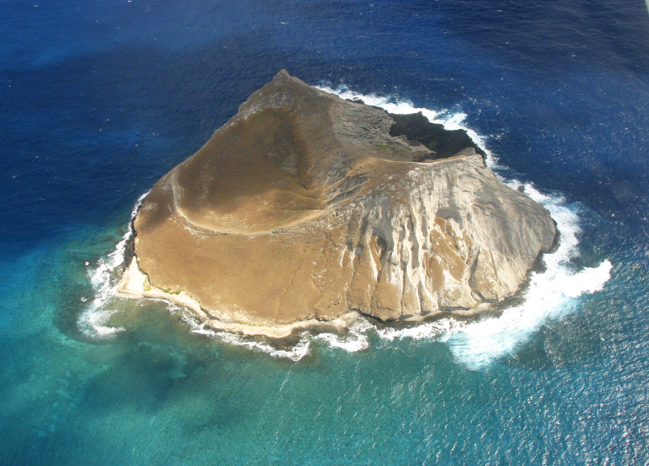
Manana Island 
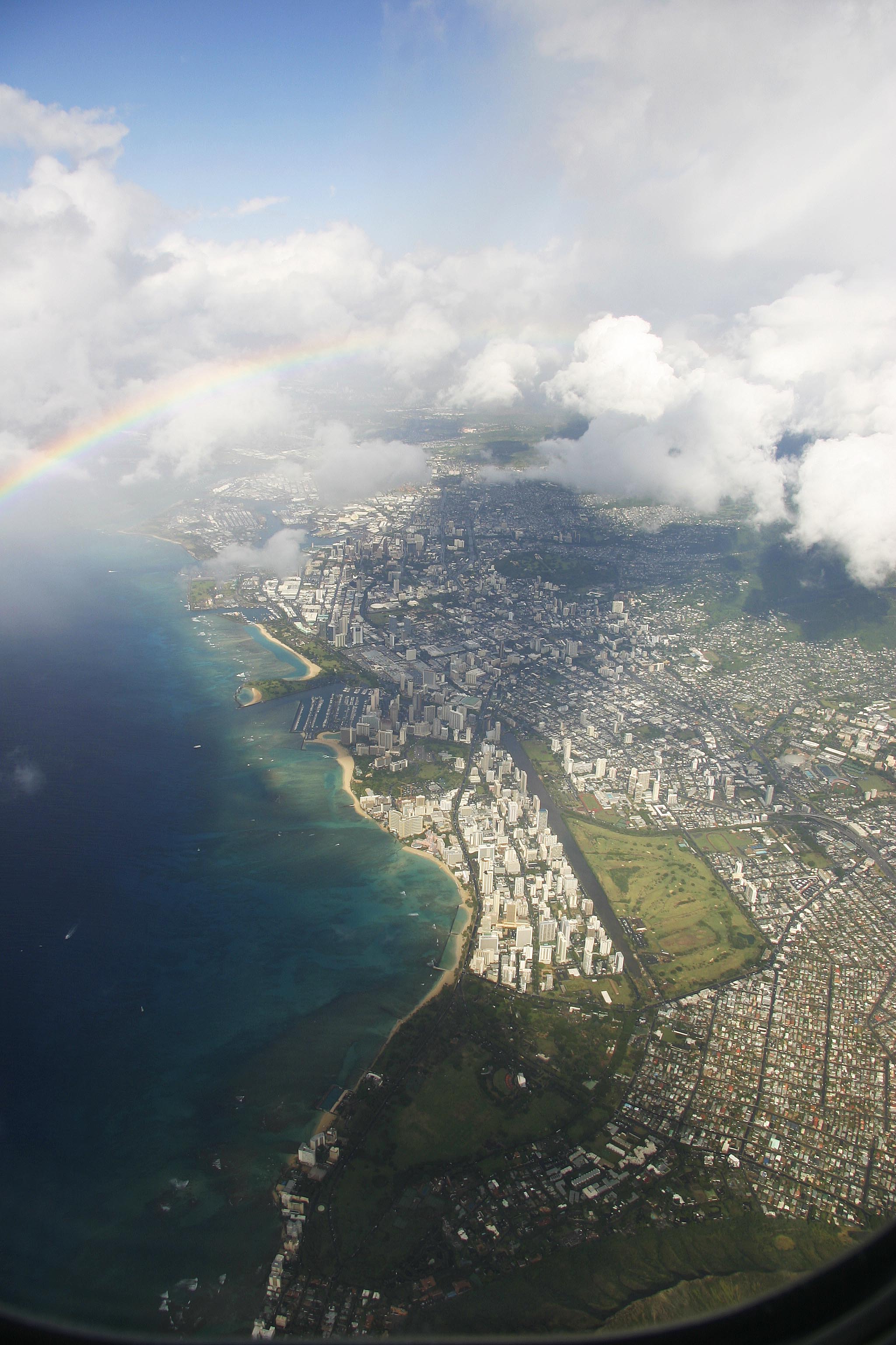
Waikiki From Ala Moana Beach to the rim of Diamond Head in the lower right. |
|
|
